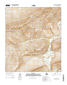
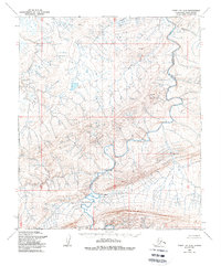
2014 Map of Point Lay A-2 SW
USGS Topo · Published 2014About this map
The Amatusuk Hills dominate the northern terrain of this remote Arctic landscape, dropping southward into the broad drainage of the Beaufort Basin. This 2014 survey documents a section of the North Slope defined by its hydrological patterns rather than human infrastructure. The Kukpowruk River meanders across the eastern edge of the map, cutting through the elevation contours as it flows toward the Chukchi Sea. This specific quadrangle covers a transition point between higher inland topography and the lower basin floor, providing a detailed record of the river's path through townships t4s r46w and t5s r46w.
Find a feature on this map
7 named features on this map. Tap any name to fly to it.
Don’t see what you’re looking for? This feature index may not catch every label — zoom into the map to look around manually.
Map Details
Editions of this 2014 Point Lay A-2 SW Map
This is the sole edition of this map. No revisions or reprints were ever made.
Other maps of this area

1951 · De Long Mountains
USGS Topo · 1:250,000

1951 · Point Lay
USGS Topo · 1:250,000

1955 · De Long Mountains
USGS Topo · 1:250,000

1955 · Point Lay
USGS Topo · 1:250,000

1955 · De Long Mountains D-2
USGS Topo · 1:63,360
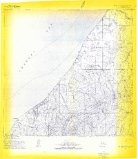
1955 · Point Lay A-3 & 4
USGS Topo · 1:63,360
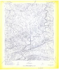
1955 · Point Lay A-2
USGS Topo · 1:63,360
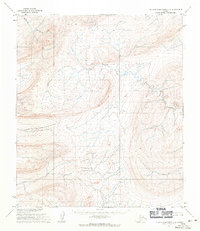
1955 · De Long Mountains D-3
USGS Topo · 1:63,360
1956 · Point Lay A-2
USGS Topo · 1:63,360

1965 · Point Lay
USGS Topo · 1:250,000