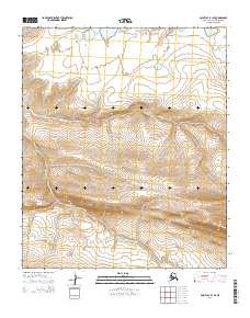
2014 Map of Point Lay B-1 SE
USGS Topo · Published 2014About this map
Epizetka River meanders across this northern landscape, its winding course defining the drainage patterns through the North Slope Borough. This 2014 survey documents a remote stretch of terrain where the waterway cuts through several townships, including t2s r43w and t1s r42w. The Kiklupiklak Hills rise in the southeast, providing the most significant relief on the map and influencing the seasonal flow of the river branches. Sparse in named landmarks, the topography here reflects a largely untouched Arctic environment, with detailed contour lines capturing the subtle rises and depressions characteristic of the Alaskan tundra near the coast.
Find a feature on this map
6 named features on this map. Tap any name to fly to it.
Don’t see what you’re looking for? This feature index may not catch every label — zoom into the map to look around manually.
Map Details
Editions of this 2014 Point Lay B-1 SE Map
This is the sole edition of this map. No revisions or reprints were ever made.
Other maps of this area

1951 · Utukok River
USGS Topo · 1:250,000

1951 · Point Lay
USGS Topo · 1:250,000

1955 · Point Lay
USGS Topo · 1:250,000
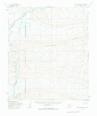
1955 · Utukok River A-5
USGS Topo · 1:63,360

1955 · Point Lay B-1
USGS Topo · 1:63,360

1955 · Point Lay A-1
USGS Topo · 1:63,360
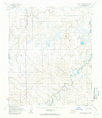
1955 · Utukok River B-5
USGS Topo · 1:63,360

1956 · Utukok River
USGS Topo · 1:250,000

1965 · Utukok River
USGS Topo · 1:250,000

1965 · Point Lay
USGS Topo · 1:250,000