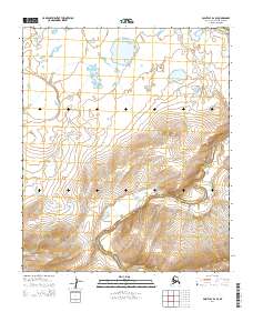
2014 Map of Point Lay B-2 SE
USGS Topo · Published 2014About this map
The Kukpowruk River dominates this portion of the North Slope, carving a serpentine path through the undulating tundra of the Arctic coastal plain. This 2014 survey documents the river's complex meanders as it flows generally northward, joined by tributaries such as Kuchaurak Cr which enters from the west. The landscape is defined by its permafrost-driven hydrology, where small ponds and saturated wetlands dot the high-latitude terrain between drainage basins. The map illustrates the immense scale of these uninhabited Arctic watersheds, highlighting the natural transition from the upland ridges down to the alluvial valleys of the Kukpowruk River. It serves as a precise record of these shifting riverbanks and drainage patterns within the North Slope Borough.
Find a feature on this map
8 named features on this map. Tap any name to fly to it.
Don’t see what you’re looking for? This feature index may not catch every label — zoom into the map to look around manually.
Map Details
Editions of this 2014 Point Lay B-2 SE Map
This is the sole edition of this map. No revisions or reprints were ever made.
Other maps of this area

1951 · Point Lay
USGS Topo · 1:250,000

1955 · Point Lay
USGS Topo · 1:250,000

1955 · Point Lay B-1
USGS Topo · 1:63,360

1955 · Point Lay A-1
USGS Topo · 1:63,360
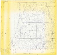
1955 · Point Lay B-2 & 3
USGS Topo · 1:63,360
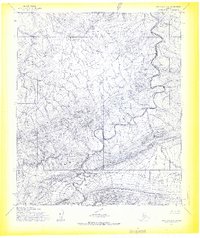
1955 · Point Lay A-2
USGS Topo · 1:63,360
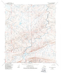
1956 · Point Lay A-2
USGS Topo · 1:63,360

1965 · Point Lay
USGS Topo · 1:250,000
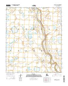
2014 · Point Lay B-2 NE
USGS Topo · 1:25,000
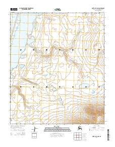
2014 · Point Lay B-2 SW
USGS Topo · 1:25,000