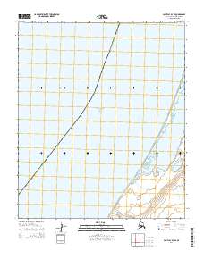
2014 Map of Point Lay B-3 SE
USGS Topo · Published 2014About this map
Chukchi Sea waters dominate this coastal portion of the Alaska North Slope Borough, where the Arctic marine environment meets a narrow, fragile shoreline. The topography is defined by the expansive Kasegaluk Lagoon, a critical barrier-island lagoon system that runs parallel to the coast. This 2014 survey documents the coastal interface before further environmental shifts, capturing the mouth of Kuchiak Cr as it drains into the lagoon. The map is largely structured by the Public Land Survey System, showing sections within t1s r47w, t2s r48w, and t2s r47w. These grids highlight the vast, unpopulated character of the North Slope, where the landscape is shaped primarily by hydrographic features rather than human settlement.
Find a feature on this map
7 named features on this map. Tap any name to fly to it.
Don’t see what you’re looking for? This feature index may not catch every label — zoom into the map to look around manually.
Map Details
Editions of this 2014 Point Lay B-3 SE Map
This is the sole edition of this map. No revisions or reprints were ever made.
Other maps of this area

1951 · Point Lay
USGS Topo · 1:250,000

1955 · Point Lay
USGS Topo · 1:250,000
1955 · Point Lay A-3 & 4
USGS Topo · 1:63,360
1955 · Point Lay B-2 & 3
USGS Topo · 1:63,360
1955 · Point Lay A-2
USGS Topo · 1:63,360
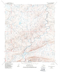
1956 · Point Lay A-2
USGS Topo · 1:63,360

1965 · Point Lay
USGS Topo · 1:250,000
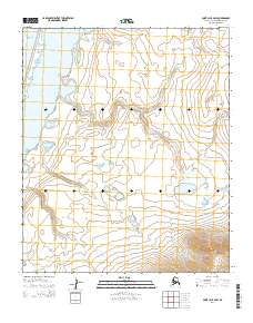
2014 · Point Lay B-2 SW
USGS Topo · 1:25,000
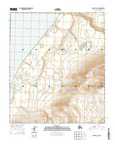
2014 · Point Lay A-3 NE
USGS Topo · 1:25,000
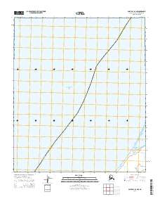
2014 · Point Lay A-3 NW
USGS Topo · 1:25,000