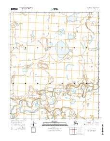
2014 Map of Point Lay D-1 SE
USGS Topo · Published 2014About this map
Kokolik River meanders across this northern landscape, defining a complex network of braids and oxbows in the southern half of the quadrangle. This 2014 survey captures a remote portion of the North Slope Borough where the topography is dominated by hydrological patterns rather than human infrastructure. In the northern reaches, Tungak Cr and Kugachiak Cr drain toward the coast, surrounded by numerous small lakes and ponding areas. The map is primarily organized by the Public Land Survey System grids of t6n r42w, t6n r41w, t5n r42w, and t5n r41w, showing a land almost entirely devoid of named settlements or roads, preserving the native hydrography of the Alaskan arctic in high detail.
Find a feature on this map
7 named features on this map. Tap any name to fly to it.
Don’t see what you’re looking for? This feature index may not catch every label — zoom into the map to look around manually.
Map Details
Editions of this 2014 Point Lay D-1 SE Map
This is the sole edition of this map. No revisions or reprints were ever made.
Other maps of this area

1951 · Utukok River
USGS Topo · 1:250,000

1951 · Point Lay
USGS Topo · 1:250,000

1955 · Point Lay
USGS Topo · 1:250,000
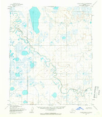
1955 · Utukok River C-5
USGS Topo · 1:63,360

1955 · Point Lay C-1
USGS Topo · 1:63,360
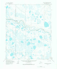
1955 · Utukok River D-5
USGS Topo · 1:63,360
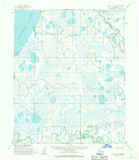
1955 · Point Lay D-1
USGS Topo · 1:63,360

1956 · Utukok River
USGS Topo · 1:250,000

1965 · Utukok River
USGS Topo · 1:250,000

1965 · Point Lay
USGS Topo · 1:250,000