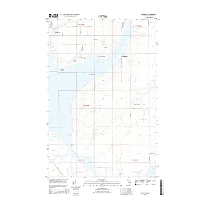
2014 Map of Point Mills
USGS Topo · Published 2014About this map
The Copper Country's intricate waterway network is central to this 2014 survey, where Portage Lake meets the Portage River as it flows toward Keweenaw Bay. The map documents the scattered residential and industrial geography along the eastern shore of the Keweenaw Peninsula, including the communities of Dollar Bay, Senter, and Point Mills. The topography is defined by complex shorelines and shoals, such as Lamirande Shoal in Torch Bay, reflecting the region's history of shipping and resource transport.
Find a feature on this map
58 named features on this map. Tap any name to fly to it.
Don’t see what you’re looking for? This feature index may not catch every label — zoom into the map to look around manually.
Map Details
Editions of this 2014 Point Mills Map
This is the sole edition of this map. No revisions or reprints were ever made.
Other maps of this area

1915 · Houghton
USGS Topo · 1:62,500

1946 · Hancock
USGS Topo · 1:24,000

1946 · Chassell
USGS Topo · 1:24,000

1946 · Laurium
USGS Topo · 1:24,000

1948 · Laurium
USGS Topo · 1:24,000

1948 · Hancock
USGS Topo · 1:24,000

1948 · Chassell
USGS Topo · 1:24,000

1954 · Traverse Island
USGS Topo · 1:24,000
1954 · Rice Lake
USGS Topo · 1:24,000

1954 · Keweenaw Bay
USGS Topo · 1:62,500