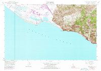
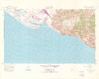
1949 Map of Point Mugu
USGS Topo · Published 1987About this map
The Pacific Missile Range and the expansive Mugu Lagoon dominate this coastal survey, where the agricultural flats of the Rio De Santa Clara meet the western edge of the Santa Monica Mts. This area, managed under the Guadalasca land grant, shows the early military footprint on the Ventura coastline just after World War II. The terrain transitions sharply from the wetland Duck Ponds and winding Calleguas Creek to the high ridges of Laguna Pk and Mugu Pk. Along the shoreline, the Pacific Coast Highway skirts the base of steep cliffs, passing landmarks like the Trailer Court and a Quarry. Geographers can trace the relationship between the sheltered estuary and the rising interior canyons, including La Jolla Canyon and Sycamore Canyon, providing a clear record of the landscape before significant late-20th-century development.
Find a feature on this map
28 named features on this map. Tap any name to fly to it.
Don’t see what you’re looking for? This feature index may not catch every label — zoom into the map to look around manually.
Map Details
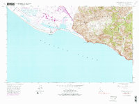
Editions of this 1949 Point Mugu Map
6 editions found
Other maps of this area

1900 · Triunfo Pass
USGS Topo · 1:62,500

1903 · Camulos
USGS Topo · 1:125,000

1904 · Hueneme
USGS Topo · 1:62,500

1921 · Triunfo Pass
USGS Topo · 1:62,500

1932 · Arroyo Sequit
USGS Topo · 1:24,000

1942 · Hueneme
USGS Topo · 1:62,500

1943 · Hueneme
USGS Topo · 1:62,500
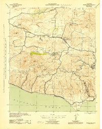
1943 · Triunfo Pass
USGS Topo · 1:62,500

1949 · Los Angeles
USGS Topo · 1:250,000

1949 · Oxnard
USGS Topo · 1:24,000