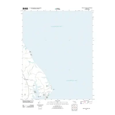
2011 Map of Point No Point
USGS Topo · Published 2011About this map
Saint Jerome Creek carves into the western shore of the Chesapeake Bay, creating a complex network of inlets and peninsulas that define this section of the Saint Mary's County coastline. Small coastal developments such as Saint Jerome Shores, Saint Jerome Beach, and Saint Jerome Manor cluster near the water's edge, reflecting a landscape centered on tidal access and maritime orientation. Further inland, the map identifies the Dameron Post Office and the Wingfield Airport, serving as local hubs for the surrounding rural communities.
Find a feature on this map
38 named features on this map. Tap any name to fly to it.
Don’t see what you’re looking for? This feature index may not catch every label — zoom into the map to look around manually.
Map Details
Editions of this 2011 Point No Point Map
This is the sole edition of this map. No revisions or reprints were ever made.
Other maps of this area

1892 · Drum Point
USGS Topo · 1:62,500

1894 · Point Lookout
USGS Topo · 1:62,500

1898 · St. Marys
USGS Topo · 1:125,000

1901 · Drum Point
USGS Topo · 1:62,500

1903 · Bloodsworth Island
USGS Topo · 1:62,500

1905 · Crapo
USGS Topo · 1:62,500

1905 · Drum Point
USGS Topo · 1:62,500

1906 · St. Marys
USGS Topo · 1:125,000

1912 · Point Lookout
USGS Topo · 1:62,500

1937 · Point Lookout
USGS Topo · 1:62,500