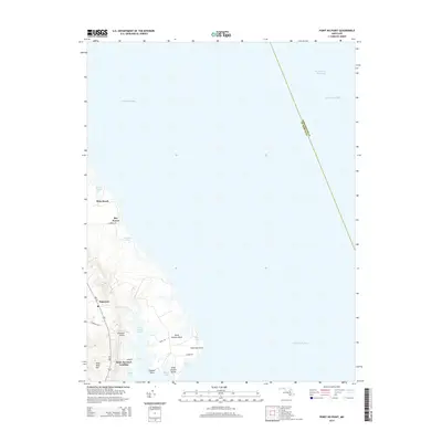
2014 Map of Point No Point
USGS Topo · Published 2014About this map
Saint Jerome Creek carves into the shoreline of Saint Mary's County, defining the geography of Saint Jerome Neck and the small coastal communities of the western shore. This 2014 survey documents the coastal landscape where the Chesapeake Bay meets the southern Maryland peninsula. The settlement of Saint Jeromes Landing sits near the mouth of the creek, supported by a network of local routes like MD 235 and Raley Rd.
Find a feature on this map
27 named features on this map. Tap any name to fly to it.
Don’t see what you’re looking for? This feature index may not catch every label — zoom into the map to look around manually.
Map Details
Editions of this 2014 Point No Point Map
This is the sole edition of this map. No revisions or reprints were ever made.
Other maps of this area

1892 · Drum Point
USGS Topo · 1:62,500

1894 · Point Lookout
USGS Topo · 1:62,500

1898 · St. Marys
USGS Topo · 1:125,000

1901 · Drum Point
USGS Topo · 1:62,500

1903 · Bloodsworth Island
USGS Topo · 1:62,500

1905 · Crapo
USGS Topo · 1:62,500

1905 · Drum Point
USGS Topo · 1:62,500

1906 · St. Marys
USGS Topo · 1:125,000

1912 · Point Lookout
USGS Topo · 1:62,500

1937 · Point Lookout
USGS Topo · 1:62,500