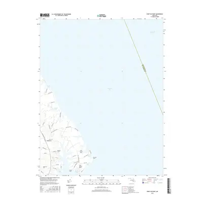
2016 Map of Point No Point
USGS Topo · Published 2016About this map
The low-lying coastal margin of Saint Mary's County meets the Chesapeake Bay at Point No Point, a distinctive bend in the shoreline defined by tidal ponds and marshy inlets. This coastal landscape is shaped by water, from the Intracoastal Waterway passing offshore to the inland clusters of Biscoe Pond, Carroll Pond, and Filbert Pond. The settlement of Dameron sits inland, connected by a network of small roads like Three Notch RD that service the rural waterfront communities. Near the coast, the landscape features residential pockets at Saint Jerome Beach and Saint Jerome Neck, where the terrain remains largely dominated by the natural drainage of Taylor Cove and Malone Bay. The inclusion of Wingfield Airport and local landmarks like Blue Gull Hill provide specific points of reference for those studying the modern topography of this maritime region.
Find a feature on this map
43 named features on this map. Tap any name to fly to it.
Don’t see what you’re looking for? This feature index may not catch every label — zoom into the map to look around manually.
Map Details
Editions of this 2016 Point No Point Map
This is the sole edition of this map. No revisions or reprints were ever made.
Other maps of this area

1892 · Drum Point
USGS Topo · 1:62,500

1894 · Point Lookout
USGS Topo · 1:62,500

1898 · St. Marys
USGS Topo · 1:125,000

1901 · Drum Point
USGS Topo · 1:62,500

1903 · Bloodsworth Island
USGS Topo · 1:62,500

1905 · Crapo
USGS Topo · 1:62,500

1905 · Drum Point
USGS Topo · 1:62,500

1906 · St. Marys
USGS Topo · 1:125,000

1912 · Point Lookout
USGS Topo · 1:62,500

1937 · Point Lookout
USGS Topo · 1:62,500