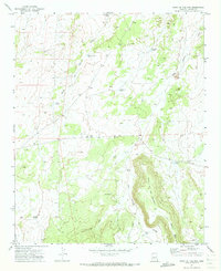
1971 Map of Point of the Mtn
USGS Topo · Published 1973About this map
Point of the Mountain rises above the arid landscape of Navajo County, Arizona, anchoring a territory defined by complex drainage systems and isolated outposts. In the early 1970s, this region relied heavily on an network of water catchment features, including uniquely named sites like Nick and Nora Tank, Jim Dandy Tank, and Crescent Tank. These water sources supported livestock and local ranching operations in a terrain carved by Hay Hollow Draw and West Hay Hollow Draw. The presence of Winter Camp and Rock Tank suggests the seasonal rhythms of land use in this part of the Southwest, while the elevation of Black Mesa dominates the southeastern quadrant. This survey reflects the remote ranching infrastructure of the era, connected by narrow tracks and jeep trails through the high desert scrub.
Find a feature on this map
33 named features on this map. Tap any name to fly to it.
Don’t see what you’re looking for? This feature index may not catch every label — zoom into the map to look around manually.
Map Details
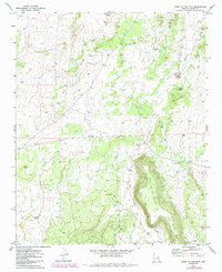
Editions of this 1971 Point of the Mtn Map
2 editions found
Other maps of this area

1886 · St Johns
USGS Topo · 1:250,000

1886 · Holbrook
USGS Topo · 1:250,000

1892 · St Johns
USGS Topo · 1:250,000

1893 · Holbrook
USGS Topo · 1:250,000

1954 · Holbrook
USGS Topo · 1:250,000

1954 · Saint Johns
USGS Topo · 1:250,000

1955 · Adamana 3 NE
USGS Topo · 1:24,000

1955 · Adamana 3 SE
USGS Topo · 1:24,000

1957 · Holbrook
USGS Topo · 1:250,000

1957 · Saint Johns
USGS Topo · 1:250,000