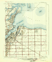
1938 Map of Point Place
USGS Topo · Published 1938About this map
Point Place and the surrounding shoreline of Maumee Bay reveal a densely developed waterfront just before the mid-century industrial boom. The convergence of the Maumee River and Ottawa River creates a complex landscape of harbors, docks, and rail yards, with the Wheeling and Lake Erie and Pennsylvania railroads serving the busy Ironville district. Inland from the coastal marshes, the terrain transitions into organized drainage systems like the Detwiler Ditch and Amilosch Ditch, supporting agricultural plots and small communities like Momeneetown and Booth.
Find a feature on this map
76 named features on this map. Tap any name to fly to it.
Don’t see what you’re looking for? This feature index may not catch every label — zoom into the map to look around manually.
Map Details
Editions of this 1938 Point Place Map
2 editions found
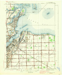
Other maps of this area

1900 · Maumee Bay
USGS Topo · 1:62,500

1900 · Toledo
USGS Topo · 1:62,500

1912 · Monroe
USGS Topo · 1:62,500

1912 · Dundee
USGS Topo · 1:62,500

1914 · Monroe
USGS Topo · 1:62,500

1926 · Dundee
USGS Topo · 1:62,500

1934 · Reno Beach
USGS Topo · 1:24,000

1934 · Point Place
USGS Topo · 1:24,000

1934 · Rossford
USGS Topo · 1:24,000

1935 · Walbridge
USGS Topo · 1:24,000