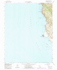
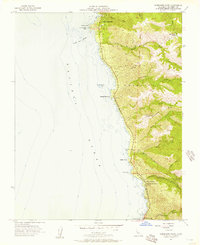
1956 Map of Point Sur
USGS Topo · Published 1984About this map
The Point Sur Lighthouse Reservation stands as the primary maritime landmark on this 1956 coastal survey, which documents the rugged Monterey coastline before modern development patterns fully took hold. The landscape is defined by the winding Coast Highway, crossing the iconic Bixby Bridge and passing through the dramatic terrain of Sierra Hill and Mescal Ridge. This map captures a specific moment of transition, noting the Sur School (Aband) and the former location of Bixby Landing (Site), points that mark the area's early industrial and educational history.
Find a feature on this map
23 named features on this map. Tap any name to fly to it.
Don’t see what you’re looking for? This feature index may not catch every label — zoom into the map to look around manually.
Map Details
Editions of this 1956 Point Sur Map
5 editions found
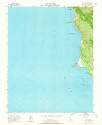
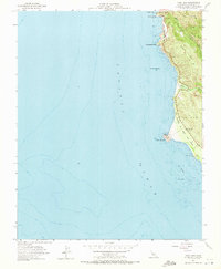

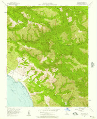
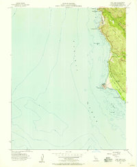
Other maps of this area

1918 · Point Sur
USGS Topo · 1:62,500

1925 · Point Sur
USGS Topo · 1:62,500

1947 · Point Sur
USGS Topo · 1:62,500

1948 · Santa Cruz
USGS Topo · 1:250,000

1955 · Santa Cruz
USGS Topo · 1:250,000
1956 · Big Sur
USGS Topo · 1:24,000
1956 · Soberanes Point
USGS Topo · 1:24,000
1956 · Point Sur
USGS Topo · 1:24,000
1956 · Pfeiffer Point
USGS Topo · 1:24,000
1956 · Mt. Carmel
USGS Topo · 1:24,000