
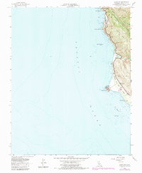
1956 Map of Point Sur
USGS Topo · Published 1986About this map
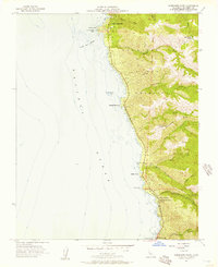
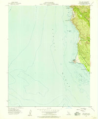
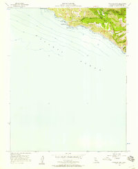
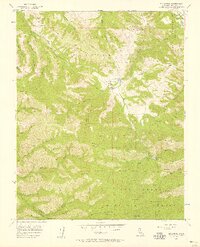
Point Sur Lighthouse Reservation stands prominently on this coastal survey, marking a critical navigational point where the land meets the Pacific Ocean. The map documents a rugged stretch of the Monterey coastline during the mid-1950s, featuring the iconic Bixby Bridge spanning Bixby Creek. Evidence of earlier coastal activity is seen at the Bixby Landing (Site), while the inland areas show the transition of local infrastructure, such as the Sur School (Aban'd) near the Little Sur River. The inclusion of The California Sea Otter Game Refuge highlights early conservation efforts along this shoreline. Steep terrain features like Sierra Hill and Mescal Ridge overlook the water, framing the narrow corridor of the Coast Road as it threads between the cliffs and the sea.
Find a feature on this map
23 named features on this map. Tap any name to fly to it.
Don’t see what you’re looking for? This feature index may not catch every label — zoom into the map to look around manually.
Map Details
Editions of this 1956 Point Sur Map
5 editions found
Other maps of this area

1918 · Point Sur
USGS Topo · 1:62,500

1925 · Point Sur
USGS Topo · 1:62,500

1947 · Point Sur
USGS Topo · 1:62,500

1948 · Santa Cruz
USGS Topo · 1:250,000

1955 · Santa Cruz
USGS Topo · 1:250,000
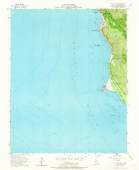
1956 · Big Sur
USGS Topo · 1:24,000
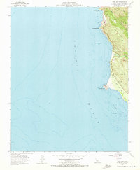
1956 · Soberanes Point
USGS Topo · 1:24,000
1956 · Point Sur
USGS Topo · 1:24,000
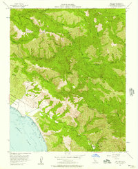
1956 · Pfeiffer Point
USGS Topo · 1:24,000
1956 · Mt. Carmel
USGS Topo · 1:24,000