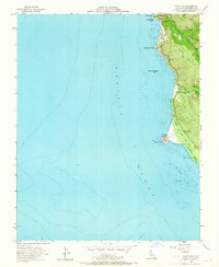
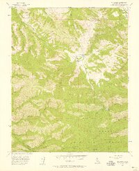
1956 Map of Point Sur
USGS Topo · Published 1965About this map
The Point Sur Lighthouse Reservation dominates this 1950s coastal survey, marking the prominent volcanic rock that reaches out into the Pacific Ocean. This isolated sentinel, complete with its lighthouse, stands as the primary navigational landmark along a coast defined by steep cliffs and the inland peaks of Sierra Hill. The mapping of The California Sea Otter Game Refuge along the shoreline highlights the region's environmental preservation efforts during the mid-20th century.
Find a feature on this map
23 named features on this map. Tap any name to fly to it.
Don’t see what you’re looking for? This feature index may not catch every label — zoom into the map to look around manually.
Map Details
Editions of this 1956 Point Sur Map
5 editions found
Other maps of this area

1918 · Point Sur
USGS Topo · 1:62,500

1925 · Point Sur
USGS Topo · 1:62,500

1947 · Point Sur
USGS Topo · 1:62,500

1948 · Santa Cruz
USGS Topo · 1:250,000

1955 · Santa Cruz
USGS Topo · 1:250,000
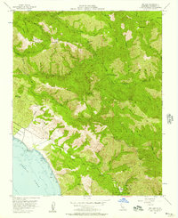
1956 · Big Sur
USGS Topo · 1:24,000
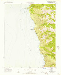
1956 · Soberanes Point
USGS Topo · 1:24,000
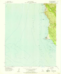
1956 · Point Sur
USGS Topo · 1:24,000
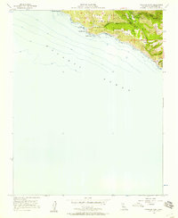
1956 · Pfeiffer Point
USGS Topo · 1:24,000
1956 · Mt. Carmel
USGS Topo · 1:24,000