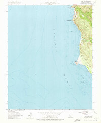
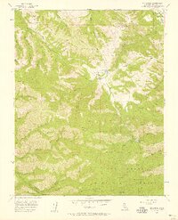
1956 Map of Point Sur
USGS Topo · Published 1973About this map
The Point Sur Lighthouse Reservation stands as a prominent sentinel along this mid-1950s coastline, where the land meets the Pacific Ocean with dramatic intensity. The map captures a moment when the Old Coast Road still served the region's movement alongside the modern highway, winding past family-named landmarks like Sierra Hill and Mescal Ridge. This area, designated as The California Sea Otter Game Refuge, highlights an early emphasis on marine conservation. Traces of earlier human enterprise appear at Bixby Landing, while the presence of the Sur School marked as abandoned suggests a shifting settlement pattern as the century progressed. From the mouth of the Little Sur River to the heights of Long Ridge, the geography reflects the transition from coastal shipping points to a protected maritime corridor.
Find a feature on this map
21 named features on this map. Tap any name to fly to it.
Don’t see what you’re looking for? This feature index may not catch every label — zoom into the map to look around manually.
Map Details
Editions of this 1956 Point Sur Map
5 editions found
Other maps of this area

1918 · Point Sur
USGS Topo · 1:62,500

1925 · Point Sur
USGS Topo · 1:62,500

1947 · Point Sur
USGS Topo · 1:62,500

1948 · Santa Cruz
USGS Topo · 1:250,000

1955 · Santa Cruz
USGS Topo · 1:250,000
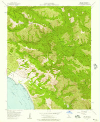
1956 · Big Sur
USGS Topo · 1:24,000
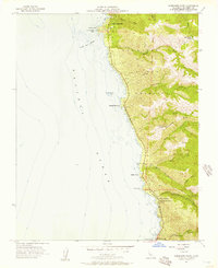
1956 · Soberanes Point
USGS Topo · 1:24,000
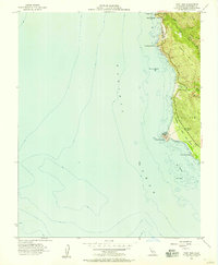
1956 · Point Sur
USGS Topo · 1:24,000
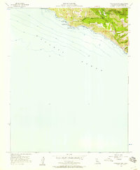
1956 · Pfeiffer Point
USGS Topo · 1:24,000
1956 · Mt. Carmel
USGS Topo · 1:24,000