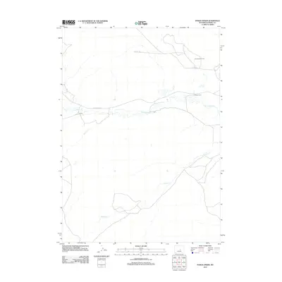
2012 Map of Poison Spider
USGS Topo · Published 2012About this map
The Poison Spider Oil Field anchors this landscape of extraction and ranching in central Wyoming. The map documents the spatial relationship between industrial oil operations and traditional grazing lands, connected by Oil Camp Rd and Poison Spider Rd. Water sources are the primary defining features of the terrain, including Poison Spider Creek and its tributary Austin Cr to the west, and Meadow Cr winding through the southern reaches. Isolated centers of activity like Williams Ranch and the F-L Ranch appear as focal points in a region where settlement is defined by large landholdings and energy infrastructure rather than concentrated towns. This 2012 survey provides a precise look at the road network and hydrology that sustain the high plains economy of Natrona County.
Find a feature on this map
9 named features on this map. Tap any name to fly to it.
Don’t see what you’re looking for? This feature index may not catch every label — zoom into the map to look around manually.
Map Details
Editions of this 2012 Poison Spider Map
This is the sole edition of this map. No revisions or reprints were ever made.
Other maps of this area

1951 · Pine Mountain SW
USGS Topo · 1:24,000

1951 · Oil Mountain
USGS Topo · 1:24,000

1951 · Clarkson Hill
USGS Topo · 1:24,000

1951 · Emigrant Gap NW
USGS Topo · 1:24,000

1951 · Poison Spider
USGS Topo · 1:24,000

1951 · Benton Basin NE
USGS Topo · 1:24,000

1951 · Mc Cleary Reservoir
USGS Topo · 1:24,000

1951 · Square Top Butte
USGS Topo · 1:24,000

1951 · Reid Canyon
USGS Topo · 1:24,000

1955 · Casper
USGS Topo · 1:250,000