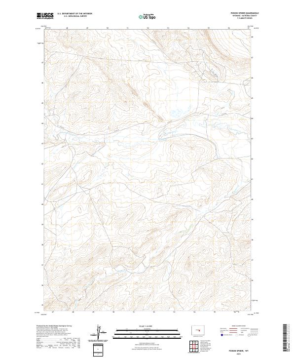
2021 Map of Poison Spider
USGS Topo · Published 2021About this map
Poison Spider Cr and its tributaries define the hydrology of this high-plains landscape in Natrona County. The drainage network, including Austin Cr and Meadow Creek, weaves through a region structured by the Public Land Survey System, with township boundaries such as t33n r83w and t34n r83w marking the terrain. Transport in this part of Wyoming is primarily supported by the local road system, most notably Co Rd 201 and the aptly named Oil Camp Rd, which hints at the region's industrial connection to resource extraction. The map provides a detailed view of the contouring and seasonal watercourses, such as Meadow Cr, that characterize the varied elevations of the Poison Spider quadrangle.
Find a feature on this map
13 named features on this map. Tap any name to fly to it.
Don’t see what you’re looking for? This feature index may not catch every label — zoom into the map to look around manually.
Map Details
Editions of this 2021 Poison Spider Map
This is the sole edition of this map. No revisions or reprints were ever made.
Other maps of this area

1951 · Pine Mountain SW
USGS Topo · 1:24,000

1951 · Oil Mountain
USGS Topo · 1:24,000

1951 · Clarkson Hill
USGS Topo · 1:24,000

1951 · Emigrant Gap NW
USGS Topo · 1:24,000

1951 · Poison Spider
USGS Topo · 1:24,000

1951 · Benton Basin NE
USGS Topo · 1:24,000

1951 · Mc Cleary Reservoir
USGS Topo · 1:24,000

1951 · Square Top Butte
USGS Topo · 1:24,000

1951 · Reid Canyon
USGS Topo · 1:24,000

1955 · Casper
USGS Topo · 1:250,000