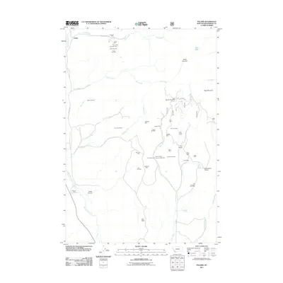
2011 Map of Polaris
USGS Topo · Published 2011About this map
Polaris serves as the focal point for this high-elevation landscape in Beaverhead County, where a dense network of mining claims and family-held lands defines the territory. The map reveals an extensive history of resource extraction, with clusters of operations such as the Silver King Mine, Mayflower Mine, and the Tungsten Mill concentrated around Garrett Hill. The settlement patterns here are distinctly tied to individual holdings and early ranching, evidenced by the Harrison Ranch and the Old Pinkerton Homestead.
Find a feature on this map
52 named features on this map. Tap any name to fly to it.
Don’t see what you’re looking for? This feature index may not catch every label — zoom into the map to look around manually.
Map Details
Editions of this 2011 Polaris Map
This is the sole edition of this map. No revisions or reprints were ever made.
Other maps of this area

1893 · Dillon
USGS Topo · 1:250,000

1952 · Bannack
USGS Topo · 1:24,000

1952 · Torrey Mountain
USGS Topo · 1:24,000

1952 · Ermont
USGS Topo · 1:24,000

1955 · Dillon
USGS Topo · 1:250,000

1957 · Dillon
USGS Topo · 1:250,000

1958 · Dillon
USGS Topo · 1:250,000

1959 · Polaris
USGS Topo · 1:62,500

1959 · Grant
USGS Topo · 1:62,500

1962 · Dillon
USGS Topo · 1:250,000