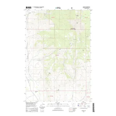
2017 Map of Polaris
USGS Topo · Published 2017About this map
Polaris serves as the primary settlement hub for this high-elevation region of Beaverhead County, positioned at the edge of the expansive Grasshopper Valley. The landscape is dominated by the Pioneer Mountains, where peaks like Baldy Mtn and Black Mtn tower over a complex drainage system. Multiple water sources including Old Faithful Spring and Lockridge Spring feed into the network of mountain creeks, which eventually join Grasshopper Creek as it flows southward through the valley floor.
Find a feature on this map
37 named features on this map. Tap any name to fly to it.
Don’t see what you’re looking for? This feature index may not catch every label — zoom into the map to look around manually.
Map Details
Editions of this 2017 Polaris Map
This is the sole edition of this map. No revisions or reprints were ever made.
Other maps of this area

1893 · Dillon
USGS Topo · 1:250,000

1952 · Bannack
USGS Topo · 1:24,000

1952 · Torrey Mountain
USGS Topo · 1:24,000

1952 · Ermont
USGS Topo · 1:24,000

1955 · Dillon
USGS Topo · 1:250,000

1957 · Dillon
USGS Topo · 1:250,000

1958 · Dillon
USGS Topo · 1:250,000

1959 · Polaris
USGS Topo · 1:62,500

1959 · Grant
USGS Topo · 1:62,500

1962 · Dillon
USGS Topo · 1:250,000