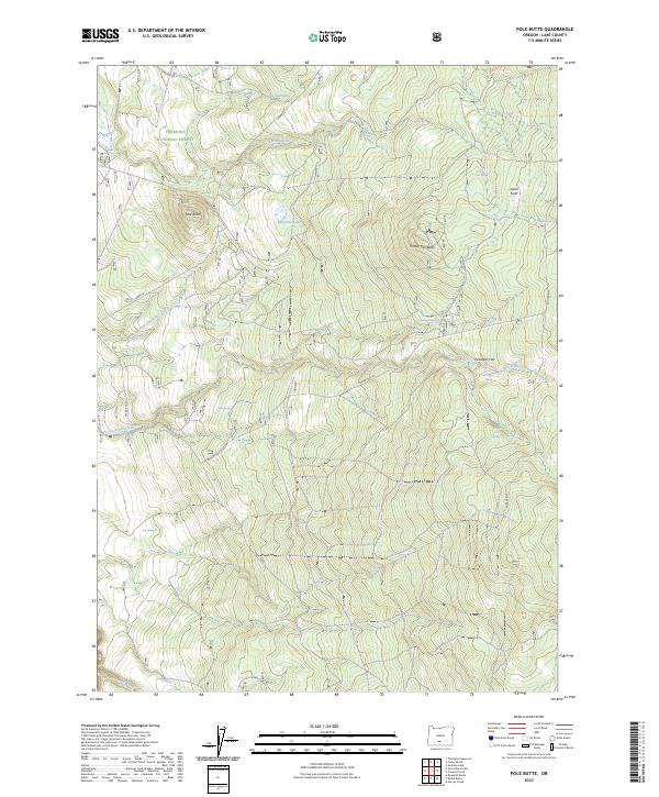
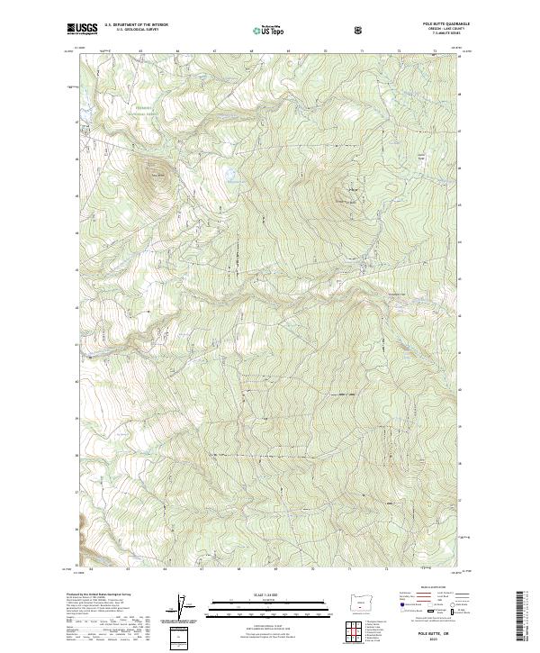
2023 Map of Pole Butte
USGS Topo · Published 2023About this map
Fremont National Forest defines the high-desert landscape of this southern Oregon interior, where volcanic landforms like Pole Butte and Timber Fall Butte rise above a complex network of seasonal water sources. The area is marked by its hydrological features, ranging from the protected Sycan Wild and Scenic River in the southwest to the smaller Emigrant Lake and numerous named springs like Chocktoot Springs and Picketpin Spring. These water points have historically dictated movement and land use across the dry terrain. The presence of Lamb Field and Picketpin Flat suggests pockets of open ground amidst the timber, while the drainage of Chocktoot Creek and Sycan Creek provides the primary natural corridors through the forest. Navigational infrastructure is limited to the prominent Trunk Road, which serves as a primary access route through these remote public lands.
Find a feature on this map
27 named features on this map. Tap any name to fly to it.
Don’t see what you’re looking for? This feature index may not catch every label — zoom into the map to look around manually.
Map Details
Editions of this 2023 Pole Butte Map
2 editions found
Other maps of this area

1889 · Klamath
USGS Topo · 1:250,000

1894 · Klamath
USGS Topo · 1:250,000

1955 · Klamath Falls
USGS Topo · 1:250,000

1958 · Klamath Falls
USGS Topo · 1:250,000

1960 · Riverbed Butte
USGS Topo · 1:62,500

1960 · Sycan Marsh
USGS Topo · 1:62,500

1966 · Summer Lake
USGS Topo · 1:24,000

1966 · Shake Butte
USGS Topo · 1:24,000

1966 · Harvey Creek
USGS Topo · 1:24,000

1966 · Fremont Point
USGS Topo · 1:24,000