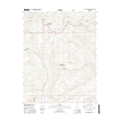
2016 Map of Pole Creek Mountain
USGS Topo · Published 2016About this map
The high alpine crest of the San Juan Mountains defines this portion of the Continental Divide National Scenic Trail, where the boundary between the Gunnison National Forest and Rio Grande National Forest follows the ridgeline. This landscape is characterized by prominent summits and steep drainages, including Half Peak and Carson Peak in the north, and the central mass of Pole Creek Mountain. The hydrography reflects the divergent paths of the Continental Divide, with waters flowing toward the Rio Grande in the south and via Pole Cr and Lost Trail Cr in the east. Numerous hiking routes, such as the Cataract Creek Trail leading to Cataract Lake, underscore the area's importance as a remote wilderness corridor. The intersection of Hinsdale and San Juan counties cuts through the western portion of the map, following the high peaks near Cuba Gulch.
Find a feature on this map
34 named features on this map. Tap any name to fly to it.
Don’t see what you’re looking for? This feature index may not catch every label — zoom into the map to look around manually.
Map Details
Editions of this 2016 Pole Creek Mountain Map
This is the sole edition of this map. No revisions or reprints were ever made.
Other maps of this area

1897 · Silverton
USGS Topo · 1:62,500

1900 · Needle Mountains
USGS Topo · 1:62,500

1901 · Silverton
USGS Topo · 1:62,500

1902 · Needle Mountains
USGS Topo · 1:62,500

1902 · Silverton
USGS Topo · 1:62,500

1905 · San Cristobal
USGS Topo · 1:125,000

1907 · San Cristobal
USGS Topo · 1:125,000

1945 · Durango
USGS Topo · 1:250,000

1953 · Durango
USGS Topo · 1:250,000

1954 · Durango
USGS Topo · 1:250,000