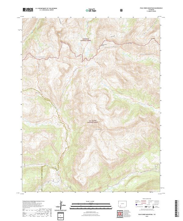
2022 Map of Pole Creek Mountain
USGS Topo · Published 2022About this map
Gunnison National Forest and Rio Grande National Forest meet along the high-elevation divide that bisects this terrain. The landscape is defined by the headwaters of major drainages, including the early course of the Rio Grande and Pole Creek, which carve through deep gulches below towering summits. Notable peaks such as Half Peak and Pole Creek Mtn dominate the horizon, while Cataract Lake sits within a high basin.
Find a feature on this map
36 named features on this map. Tap any name to fly to it.
Don’t see what you’re looking for? This feature index may not catch every label — zoom into the map to look around manually.
Map Details
Editions of this 2022 Pole Creek Mountain Map
This is the sole edition of this map. No revisions or reprints were ever made.
Other maps of this area

1897 · Silverton
USGS Topo · 1:62,500

1900 · Needle Mountains
USGS Topo · 1:62,500

1901 · Silverton
USGS Topo · 1:62,500

1902 · Needle Mountains
USGS Topo · 1:62,500

1902 · Silverton
USGS Topo · 1:62,500

1905 · San Cristobal
USGS Topo · 1:125,000

1907 · San Cristobal
USGS Topo · 1:125,000

1945 · Durango
USGS Topo · 1:250,000

1953 · Durango
USGS Topo · 1:250,000

1954 · Durango
USGS Topo · 1:250,000