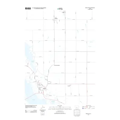
2013 Map of Polk City
USGS Topo · Published 2013About this map
Polk City anchors this 2013 survey of the Central Iowa landscape, situated at the nexus of major water management projects. The map details the expansive waters of Saylorville Lake and Big Creek Lake, which transformed the local geography following their mid-20th-century construction. Nearby, Big Creek State Park serves as a prominent recreational feature bordering the residential growth of the area.
Find a feature on this map
75 named features on this map. Tap any name to fly to it.
Don’t see what you’re looking for? This feature index may not catch every label — zoom into the map to look around manually.
Map Details
Editions of this 2013 Polk City Map
This is the sole edition of this map. No revisions or reprints were ever made.
Other maps of this area

1905 · Des Moines
USGS Topo · 1:62,500

1907 · Des Moines
USGS Topo · 1:62,500

1908 · Waukee
USGS Topo · 1:62,500

1911 · Madrid
USGS Topo · 1:62,500

1911 · Slater
USGS Topo · 1:62,500

1913 · Slater
USGS Topo · 1:62,500

1914 · Madrid
USGS Topo · 1:62,500

1954 · Des Moines
USGS Topo · 1:250,000

1956 · Des Moines
USGS Topo · 1:250,000

1956 · Des Moines NW
USGS Topo · 1:24,000