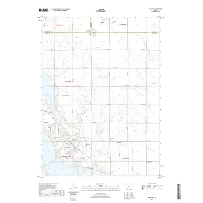
2018 Map of Polk City
USGS Topo · Published 2018About this map
Polk City sits at the junction of two major water bodies, Big Creek Lake and Saylorville Lake, serving as a central hub for the surrounding rural townships and prairie land. This 2018 survey documents a landscape of expanding communities and preserved family history, with modern road networks like NW Polk City Dr and W Broadway St connecting older settlements. To the north and east, the map traces the intersection of three counties — Boone, Story, and Polk — where small towns like Slater and Sheldahl anchor a grid of agriculture and tributary streams. Local history is deeply etched into the terrain through numerous small burial grounds, including the Beebe Cem, Davis Farm Cem, and L E M Small Cem. These sites, along with landmarks like Wolf Cr and Fourmile Cr, reflect a region where 19th-century pioneer footprints remain visible beneath contemporary suburban development.
Find a feature on this map
47 named features on this map. Tap any name to fly to it.
Don’t see what you’re looking for? This feature index may not catch every label — zoom into the map to look around manually.
Map Details
Editions of this 2018 Polk City Map
This is the sole edition of this map. No revisions or reprints were ever made.
Other maps of this area

1905 · Des Moines
USGS Topo · 1:62,500

1907 · Des Moines
USGS Topo · 1:62,500

1908 · Waukee
USGS Topo · 1:62,500

1911 · Madrid
USGS Topo · 1:62,500

1911 · Slater
USGS Topo · 1:62,500

1913 · Slater
USGS Topo · 1:62,500

1914 · Madrid
USGS Topo · 1:62,500

1954 · Des Moines
USGS Topo · 1:250,000

1956 · Des Moines
USGS Topo · 1:250,000

1956 · Des Moines NW
USGS Topo · 1:24,000