Loading...
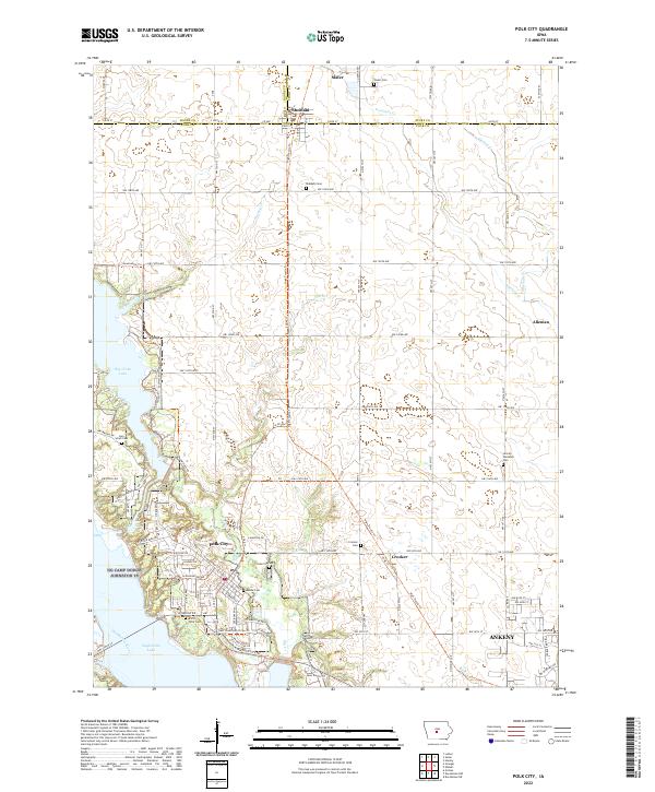
Loading map...2022 Map of Polk City
USGS Topo · Published 2022About this map
Polk City sits at the heart of this landscape, positioned between the expansive waters of Big Creek Lake and Saylorville Lake. The area is defined by its recreation-oriented infrastructure and evolving transportation networks, with the High Trestle Trl and Neal Smith Trl crossing through territory once shaped by agriculture and rail. To the north, the small settlements of Slater, Sheldahl, and Alleman anchor the tri-county border area where Boone Co, Story Co, and Polk Co meet.
Find a feature on this map
53 named features on this map. Tap any name to fly to it.
Don’t see what you’re looking for? This feature index may not catch every label — zoom into the map to look around manually.
Map Details
Date Portrayed2022
Date Published2022
PublisherU.S. Geological Survey
Map TypeTopographic
Scale1:24000
Physical Dimensions24 x 29 inches
Editions of this 2022 Polk City Map
This is the sole edition of this map. No revisions or reprints were ever made.
Historical Maps of Crocker Through Time
Featured Locations
Source Details
SourceU.S. Geological Survey
CopyrightPublic Domain