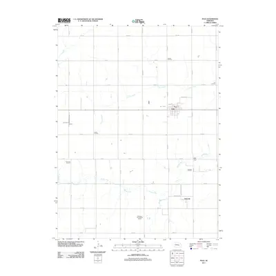
2011 Map of Polk
USGS Topo · Published 2011About this map
The agrarian landscape of Polk County, Nebraska, is defined by the steady flow of the Big Blue River and Prairie Creek as they meander through a grid of rural section roads. This 2011 survey documents the established community of Polk, centered on Polk Ave and home to the Polk Post Office, alongside the smaller settlement of Arborville to the south. The area’s genealogical and community history is preserved in several burial grounds, including Laclede Cemetery, Polk Cemetery, and North Blue Cemetery, which are scattered throughout the countryside. Other distinctive landmarks include the Polk Bible Camp near the river and the Merchant Homestead Airport situated amidst the farmstead layouts. The map captures the enduring character of a central Nebraska farming region, where local landmarks like Lindale Cemetery and Arborville Cemetery serve as anchors for the surrounding rural roads.
Find a feature on this map
41 named features on this map. Tap any name to fly to it.
Don’t see what you’re looking for? This feature index may not catch every label — zoom into the map to look around manually.
Map Details
Editions of this 2011 Polk Map
This is the sole edition of this map. No revisions or reprints were ever made.
Other maps of this area

1896 · Stromsburg
USGS Topo · 1:125,000

1898 · York
USGS Topo · 1:125,000

1899 · York
USGS Topo · 1:125,000

1955 · Fremont
USGS Topo · 1:250,000

1955 · Lincoln
USGS Topo · 1:250,000

1957 · Fremont
USGS Topo · 1:250,000

1957 · Lincoln
USGS Topo · 1:250,000

1958 · Fremont
USGS Topo · 1:250,000

1958 · Lincoln
USGS Topo · 1:250,000

1962 · Polk
USGS Topo · 1:24,000