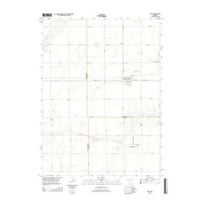
2014 Map of Polk
USGS Topo · Published 2014About this map
Polk stands at the intersection of Ne-66 and the regional rail corridors of the central plains, anchoring a landscape where agricultural grids meet the winding waters of the Big Blue River. This 2014 survey documents the enduring layout of rural settlements like Arborville and a remarkably high density of historical burial grounds, which offer significant value for genealogical research in this part of Nebraska.
Find a feature on this map
47 named features on this map. Tap any name to fly to it.
Don’t see what you’re looking for? This feature index may not catch every label — zoom into the map to look around manually.
Map Details
Editions of this 2014 Polk Map
This is the sole edition of this map. No revisions or reprints were ever made.
Other maps of this area

1896 · Stromsburg
USGS Topo · 1:125,000

1898 · York
USGS Topo · 1:125,000

1899 · York
USGS Topo · 1:125,000

1955 · Fremont
USGS Topo · 1:250,000

1955 · Lincoln
USGS Topo · 1:250,000

1957 · Fremont
USGS Topo · 1:250,000

1957 · Lincoln
USGS Topo · 1:250,000

1958 · Fremont
USGS Topo · 1:250,000

1958 · Lincoln
USGS Topo · 1:250,000

1962 · Polk
USGS Topo · 1:24,000