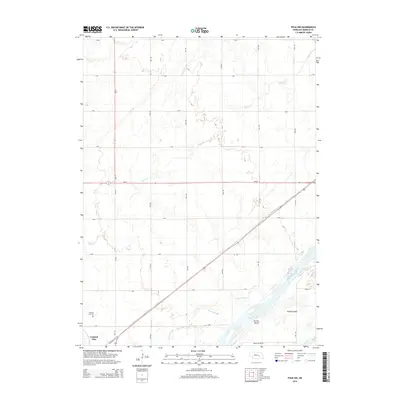
2014 Map of Polk NW
USGS Topo · Published 2014About this map
Central City serves as the focal point for this 2014 survey of Merrick County, where the eastern edge of the community meets a landscape dominated by the braided channels of the Platte River. The map illustrates a meticulously gridded agricultural region, punctuated by waterways like Silver Cr and the Warm Slough, which weave through the Platte's alluvial plain. Genealogists and local historians will find the Central City Cem on the western margin, while the complex river system is highlighted by large landforms such as Prairie Island and Hurley Island. This USGS topo sheet details a modern Nebraska rural economy, showing the precise intersection of state routes like Ne-14 and Ne-92 with the local township road system that defines property lines and access across the Platte Valley.
Find a feature on this map
27 named features on this map. Tap any name to fly to it.
Don’t see what you’re looking for? This feature index may not catch every label — zoom into the map to look around manually.
Map Details
Editions of this 2014 Polk NW Map
This is the sole edition of this map. No revisions or reprints were ever made.
Other maps of this area

1896 · Stromsburg
USGS Topo · 1:125,000

1899 · St. Paul
USGS Topo · 1:125,000

1955 · Broken Bow
USGS Topo · 1:250,000

1955 · Belgrade SE
USGS Topo · 1:24,000

1955 · Fremont
USGS Topo · 1:250,000

1956 · Broken Bow
USGS Topo · 1:250,000

1957 · Fremont
USGS Topo · 1:250,000

1958 · Fremont
USGS Topo · 1:250,000

1958 · Fullerton
USGS Topo · 1:24,000

1958 · Havens
USGS Topo · 1:24,000