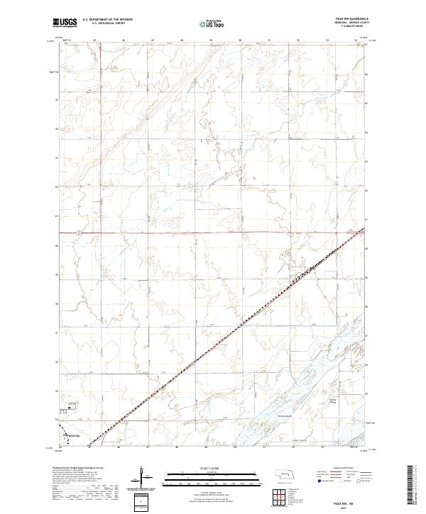
2021 Map of Polk NW
USGS Topo · Published 2021About this map
Central City occupies the southwestern corner of this survey, marking a significant urban hub along the northern banks of the Platte River. The surrounding landscape is defined by the braided channels of the river, which give rise to prominent landforms like Prairie Island and Hurley Island. This fluvial environment is further complicated by smaller waterways such as Warm Slough, Silver Cr, and Prairie Cr, which carve through the grid-patterned agricultural lands of Merrick County.
Find a feature on this map
29 named features on this map. Tap any name to fly to it.
Don’t see what you’re looking for? This feature index may not catch every label — zoom into the map to look around manually.
Map Details
Editions of this 2021 Polk NW Map
This is the sole edition of this map. No revisions or reprints were ever made.
Other maps of this area

1896 · Stromsburg
USGS Topo · 1:125,000

1899 · St. Paul
USGS Topo · 1:125,000

1955 · Broken Bow
USGS Topo · 1:250,000

1955 · Belgrade SE
USGS Topo · 1:24,000

1955 · Fremont
USGS Topo · 1:250,000

1956 · Broken Bow
USGS Topo · 1:250,000

1957 · Fremont
USGS Topo · 1:250,000

1958 · Fremont
USGS Topo · 1:250,000

1958 · Fullerton
USGS Topo · 1:24,000

1958 · Havens
USGS Topo · 1:24,000