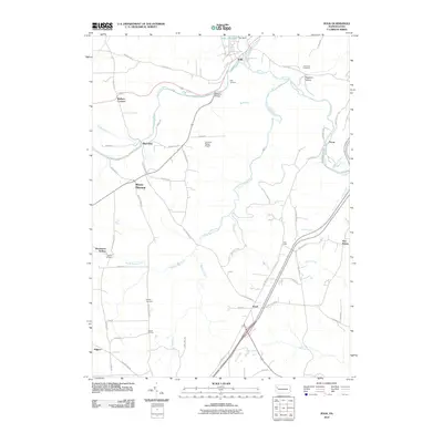
2010 Map of Polk
USGS Topo · Published 2010About this map
Sandy Creek and its numerous tributaries, including Little Sandy Creek, South Sandy Creek, and Victory Run, carve through the Venango County landscape in this 2010 survey. The borough of Polk serves as a northern anchor, marked by Polk Junction and the waters of Polk Dam Lake. The map details a network of rural settlements and family-named landmarks that speak to the area's long-standing community structure, from the small hub at Raymilton to the isolated corners of Pearl and Pecan.
Find a feature on this map
68 named features on this map. Tap any name to fly to it.
Don’t see what you’re looking for? This feature index may not catch every label — zoom into the map to look around manually.
Map Details
Editions of this 2010 Polk Map
This is the sole edition of this map. No revisions or reprints were ever made.
Other maps of this area

1909 · Franklin
USGS Topo · 1:62,500

1910 · Hilliards
USGS Topo · 1:62,500

1911 · Franklin
USGS Topo · 1:62,500

1911 · Stoneboro
USGS Topo · 1:62,500

1912 · Hilliards
USGS Topo · 1:62,500

1913 · Stoneboro
USGS Topo · 1:62,500

1913 · Mercer
USGS Topo · 1:62,500

1939 · Mercer
USGS Topo · 1:62,500

1943 · Mercer
USGS Topo · 1:62,500

1943 · Stoneboro
USGS Topo · 1:62,500