Loading...
Loading map...2023 Map of Polk
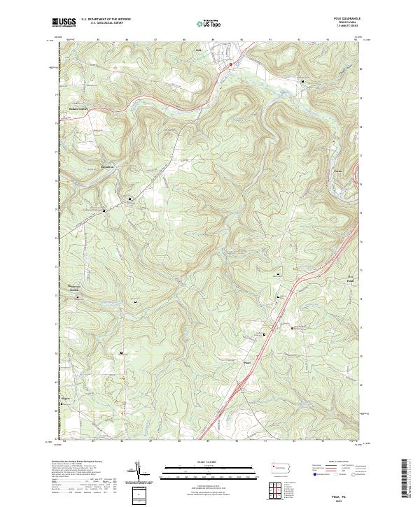
USGS Topo · Published 2023About this map
Sandy Creek and its many tributaries, including South Sandy Creek, define the landscape of this portion of Venango County. The topography is marked by significant elevation changes between valley floors and ridges like Palm Hill, creating a network of winding roads such as Hells Kitchen Rd and Jackson Center Polk Rd. The settlement pattern is largely rural, with clusters of activity at Polk, Raymilton, and Henderson Station.
Find a feature on this map
89 named features on this map. Tap any name to fly to it.
Don’t see what you’re looking for? This feature index may not catch every label — zoom into the map to look around manually.
Map Details
Date Portrayed2023
Date Published2023
PublisherU.S. Geological Survey
Map TypeTopographic
Scale1:24000
Physical Dimensions24 x 29 inches
Editions of this 2023 Polk Map
This is the sole edition of this map. No revisions or reprints were ever made.
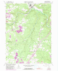
Historical Maps of Wallace Corners Through Time
Featured Locations
Source Details
SourceU.S. Geological Survey
CopyrightPublic Domain