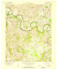
1954 Map of Polkville
USGS Topo · Published 1955About this map
Barren River meanders sharply across this mid-century landscape, carving deep loops through the terrain of Warren and Allen Counties. The rural economy of the mid-1950s is clearly visible in the concentration of Oil Wells and Gas Wells clustered near the settlement of Hardcastle. This activity is balanced by a dense network of country institutions, including Pleasant Hill Ch and the Rocky Springs Sch, which served the outlying communities of Gotta and Polkville. The map captures a moment when local infrastructure relied on landmarks like the Iron Bridge and named thoroughfares such as Cemetery Road and Porter Road. Toward the southwest, the Bowling Green Radio Range Station stands as a sign of mid-century technological development near the Alvaton Sch and Bethany Ch.
Find a feature on this map
32 named features on this map. Tap any name to fly to it.
Don’t see what you’re looking for? This feature index may not catch every label — zoom into the map to look around manually.
Map Details
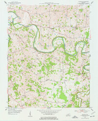
Editions of this 1954 Polkville Map
2 editions found
Other maps of this area

1921 · Bowling Green
USGS Topo · 1:62,500

1922 · Brownsville
USGS Topo · 1:62,500

1922 · Mammoth Cave
USGS Topo · 1:62,500

1923 · Bowling Green
USGS Topo · 1:62,500

1923 · Mammoth Cave
USGS Topo · 1:62,500

1923 · Brownsville
USGS Topo · 1:62,500

1926 · Scottsville
USGS Topo · 1:62,500

1954 · Evansville
USGS Topo · 1:250,000

1954 · Bowling Green North
USGS Topo · 1:24,000

1954 · Drake
USGS Topo · 1:24,000