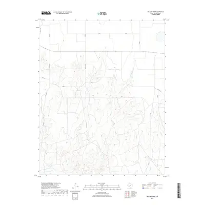
2019 Map of Pollard Creek
USGS Topo · Published 2019About this map
Sand Cr and Pollard Creek carve a complex network of drainages through this portion of Moore County, illustrating the transition from the flat High Plains to the broken breaks of the Canadian River valley. The infrastructure reflects the regional economy of energy extraction and cattle ranching, with Natural Gas Rd running north-south through the center of the sheet. Modern transportation corridors like FM 1060 and FM 1913 provide access to this landscape, while family-named routes such as Keith Rd, Hooks Rd, and Lew Haile Rd mark the local property divisions and historical homestead access. The map reveals how water sources like Turkey Creek and Bugbee Creek dictate the placement of local roads and ranch infrastructure in this arid region of the Texas Panhandle.
Find a feature on this map
18 named features on this map. Tap any name to fly to it.
Don’t see what you’re looking for? This feature index may not catch every label — zoom into the map to look around manually.
Map Details
Editions of this 2019 Pollard Creek Map
This is the sole edition of this map. No revisions or reprints were ever made.
Other maps of this area

1936 · Fourways
USGS Topo · 1:62,500

1939 · Sanford
USGS Topo · 1:62,500

1953 · Sanford
USGS Topo · 1:24,000

1953 · Evans Canyon
USGS Topo · 1:24,000

1953 · Spencer Draw
USGS Topo · 1:24,000

1954 · Amarillo
USGS Topo · 1:250,000

1958 · Amarillo
USGS Topo · 1:250,000
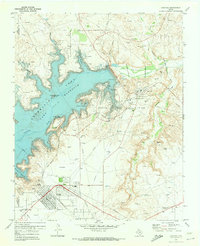
1970 · Sanford
USGS Topo · 1:24,000
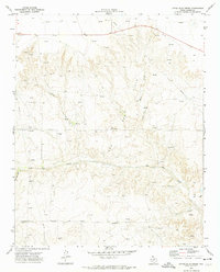
1972 · Little Blue Creek
USGS Topo · 1:24,000

1972 · Dumas NE
USGS Topo · 1:24,000