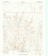
1972 Map of Pollard Creek
USGS Topo · Published 1974About this map
The industrial footprint of the Panhandle's energy economy is etched across this Moore County landscape, where the rugged drainages of Pollard Creek and Sand Creek meet an extensive network of natural gas infrastructure. Photographed in 1971, the map documents a terrain densely populated with gas wells, interconnecting pipelines, and specialized facilities such as a Compressor Sta and multiple Pumping Sta locations. Near the eastern edge, the industrial presence intensifies at Sneed Camp, a company settlement featuring a Refinery, a Water Tank, and a Radio Tower. This site, along with the nearby siding at Louisa, illustrates the mid-century development of the local petroleum industry within the natural breaks formed by Turkey Creek and Hay Creek. Away from the well pads and pipelines, the map also notes several Gravel Pit operations and the southern flows of Big Blue Creek and Grapevine Creek.
Find a feature on this map
16 named features on this map. Tap any name to fly to it.
Don’t see what you’re looking for? This feature index may not catch every label — zoom into the map to look around manually.
Map Details
Editions of this 1972 Pollard Creek Map
This is the sole edition of this map. No revisions or reprints were ever made.
Other maps of this area

1936 · Fourways
USGS Topo · 1:62,500

1939 · Sanford
USGS Topo · 1:62,500

1953 · Sanford
USGS Topo · 1:24,000

1953 · Evans Canyon
USGS Topo · 1:24,000

1953 · Spencer Draw
USGS Topo · 1:24,000

1954 · Amarillo
USGS Topo · 1:250,000

1958 · Amarillo
USGS Topo · 1:250,000
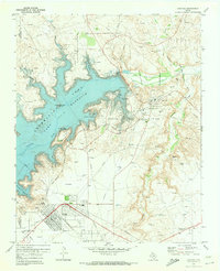
1970 · Sanford
USGS Topo · 1:24,000
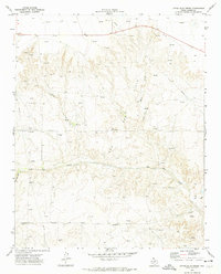
1972 · Little Blue Creek
USGS Topo · 1:24,000

1972 · Dumas NE
USGS Topo · 1:24,000