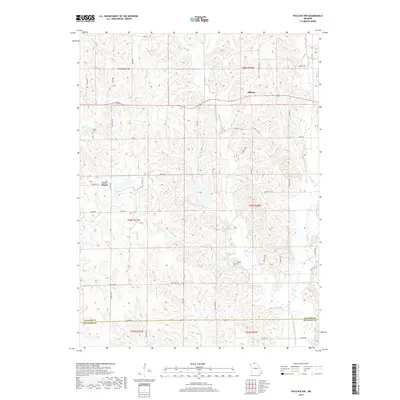
2017 Map of Pollock NW
USGS Topo · Published 2017About this map
Terre Haute and Midway anchor this northern Missouri landscape, situated within the rolling drainages of Locust Cr and its many tributaries. The area is defined by a dense network of country roads such as Jerico Rd and State Hwy EE, reflecting the rural agricultural character of Putnam Co and Sullivan Co. Genealogists will find interest in the well-preserved locations of Sprigg Cem near Elm Br and Parsons Cem overlooking Badger Br.
Find a feature on this map
48 named features on this map. Tap any name to fly to it.
Don’t see what you’re looking for? This feature index may not catch every label — zoom into the map to look around manually.
Map Details
Editions of this 2017 Pollock NW Map
This is the sole edition of this map. No revisions or reprints were ever made.
Other maps of this area

1942 · Seymour
USGS Topo · 1:62,500

1944 · Seymour
USGS Topo · 1:62,500

1954 · Centerville
USGS Topo · 1:250,000

1957 · Centerville
USGS Topo · 1:250,000

1958 · Centerville
USGS Topo · 1:250,000

1964 · Pollock NW
USGS Topo · 1:24,000

1964 · Harris
USGS Topo · 1:24,000

1964 · Unionville West
USGS Topo · 1:24,000
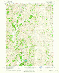
1964 · Pollock
USGS Topo · 1:24,000
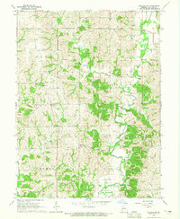
1964 · Pollock SW
USGS Topo · 1:24,000