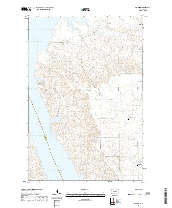
2021 Map of Pollock SE
USGS Topo · Published 2021About this map
The Missouri River corridor in Campbell County is dominated by the expansive waters of Lake Oahe, which defines the western boundary of this South Dakota landscape. This survey documents the intersection of modern recreation and historical land markers, featuring residential access via Prairie Hills Bay Dr alongside established agricultural section lines. Inland from the river bluffs, the terrain is carved by seasonal drainages such as No Sweet Cr and Shaw Cr. For those tracing local genealogy or land use, the presence of the Gale Cem and Kvarness Cem provides specific points of reference within the rural township grid. The map also delineates the county line between Campbell and Corson counties, running through the center of the reservoir where the river's original channel once flowed.
Find a feature on this map
26 named features on this map. Tap any name to fly to it.
Don’t see what you’re looking for? This feature index may not catch every label — zoom into the map to look around manually.
Map Details
Editions of this 2021 Pollock SE Map
This is the sole edition of this map. No revisions or reprints were ever made.
Other maps of this area

1953 · McIntosh
USGS Topo · 1:250,000

1958 · McIntosh
USGS Topo · 1:250,000

1965 · Herreid NW
USGS Topo · 1:24,000

1965 · Herreid SW
USGS Topo · 1:24,000

1965 · Pollock SE
USGS Topo · 1:24,000

1965 · Pollock
USGS Topo · 1:24,000

1966 · Kenel
USGS Topo · 1:24,000

1966 · Pollock NW
USGS Topo · 1:24,000

1967 · Mobridge NE
USGS Topo · 1:24,000

1967 · Mobridge NW
USGS Topo · 1:24,000