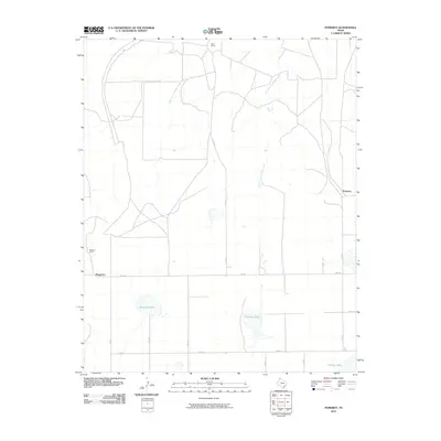
2010 Map of Pomeroy
USGS Topo · Published 2010About this map
Pomeroy and Masterson anchor this portion of Carson County during the first decade of the 21st century, showing the established grid of ranching roads and water resources that define the High Plains landscape. The area is characterized by large agricultural and ranching holdings, notably the Deal Ranch in the north and Williams Ranch to the west. A critical network of drainage and ephemeral water bodies is captured here, including the West Fork Antelope Creek and East Fork Antelope Creek. The presence of large depressions like Rockwell Lake, Icehouse Lake, and Pantex Lake highlights the unique hydrology of the Panhandle, where these playa-like features provide vital surface water for local livestock and wildlife amidst the surrounding farm and ranch land defined by routes like FM 1342.
Find a feature on this map
19 named features on this map. Tap any name to fly to it.
Don’t see what you’re looking for? This feature index may not catch every label — zoom into the map to look around manually.
Map Details
Editions of this 2010 Pomeroy Map
This is the sole edition of this map. No revisions or reprints were ever made.
Other maps of this area

1939 · Sanford
USGS Topo · 1:62,500

1953 · Alibates Ranch
USGS Topo · 1:24,000

1953 · Deal
USGS Topo · 1:24,000

1953 · Mayer
USGS Topo · 1:24,000

1953 · Pomeroy
USGS Topo · 1:24,000

1953 · McBride
USGS Topo · 1:24,000

1953 · Berry Sand Draw
USGS Topo · 1:24,000

1953 · Sevenmile Basin
USGS Topo · 1:24,000

1954 · Amarillo
USGS Topo · 1:250,000

1958 · Amarillo
USGS Topo · 1:250,000