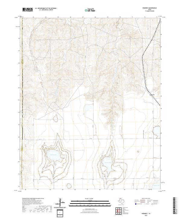
2022 Map of Pomeroy
USGS Topo · Published 2022About this map
Pomeroy sits at the edge of the Texas Panhandle's distinctive plateau landscape, where the flat plains of Carson Co begin to break into the drainage systems of the Canadian River basin. The area is defined by the headwaters of W Fork Antelope Cr and E Fork Antelope Cr, which carve deep, branching draws into the high plains. This 2022 survey illustrates the transition from open agricultural and ranch lands to the broken terrain of the breaks.
Find a feature on this map
18 named features on this map. Tap any name to fly to it.
Don’t see what you’re looking for? This feature index may not catch every label — zoom into the map to look around manually.
Map Details
Editions of this 2022 Pomeroy Map
This is the sole edition of this map. No revisions or reprints were ever made.
Other maps of this area

1939 · Sanford
USGS Topo · 1:62,500

1953 · Alibates Ranch
USGS Topo · 1:24,000

1953 · Deal
USGS Topo · 1:24,000

1953 · Mayer
USGS Topo · 1:24,000

1953 · Pomeroy
USGS Topo · 1:24,000

1953 · McBride
USGS Topo · 1:24,000

1953 · Berry Sand Draw
USGS Topo · 1:24,000

1953 · Sevenmile Basin
USGS Topo · 1:24,000

1954 · Amarillo
USGS Topo · 1:250,000

1958 · Amarillo
USGS Topo · 1:250,000