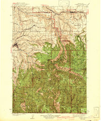
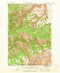
1942 Map of Pomeroy
USGS Topo · Published 1942About this map
The Union Pacific railroad corridor and the agricultural plateau of Pataha Flat define the northern portion of this 1942 edition, where the towns of Pomeroy and Dayton serve as the primary hubs for Garfield and Columbia Counties. This survey, based on work from the late 1930s, documents a landscape transitioning from the open grain fields around Covello and Turner into the timbered slopes of the Umatilla National Forest. The map captures several rural educational landmarks such as Jackson School and Scoggins School, which reflect the distributed settlement pattern of the era. To the south, the terrain becomes increasingly complex as the Tucannon River cuts through the mountains. Civil Conservation Corps influence is visible at the Tucannon CCC Camp, while industrial activity is noted at the Baldwin Mill near the eastern boundary, illustrating the regional reliance on both logging and livestock.
Find a feature on this map
102 named features on this map. Tap any name to fly to it.
Don’t see what you’re looking for? This feature index may not catch every label — zoom into the map to look around manually.
Map Details
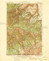
Editions of this 1942 Pomeroy Map
2 editions found
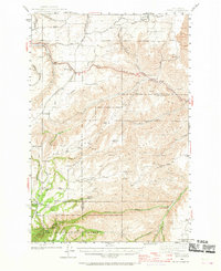
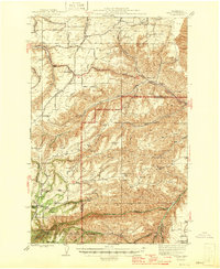
Other maps of this area

1910 · Pullman
USGS Topo · 1:125,000

1919 · Walla Walla
USGS Topo · 1:125,000

1921 · Walla Walla
USGS Topo · 1:125,000
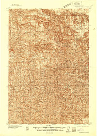
1937 · Pomeroy
USGS Topo · 1:96,000
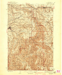
1942 · Pomeroy
USGS Topo · 1:125,000
1943 · Peola
USGS Topo · 1:62,500
1943 · Saddle Butte
USGS Topo · 1:62,500
1946 · Saddle Butte
USGS Topo · 1:62,500
1946 · Peola
USGS Topo · 1:62,500
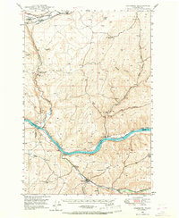
1948 · Starbuck
USGS Topo · 1:62,500