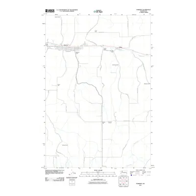
2011 Map of Pomeroy
USGS Topo · Published 2011About this map
Pomeroy serves as the focal point of this Eastern Washington landscape, situated along the winding course of Pataha Creek. The town's grid is well-defined by streets such as Columbia St and Baldwin Ave, reflecting its established role in the region. Moving east, the smaller settlements of Berlin and Pataha sit along the same valley, illustrating the historical importance of the water corridor for local development. For those tracing family histories, the map identifies significant sites like Holy Rosary Cemetery on the western edge of town and the more isolated Pataha Flat Cemetery to the south.
Find a feature on this map
40 named features on this map. Tap any name to fly to it.
Don’t see what you’re looking for? This feature index may not catch every label — zoom into the map to look around manually.
Map Details
Editions of this 2011 Pomeroy Map
This is the sole edition of this map. No revisions or reprints were ever made.
Other maps of this area

1910 · Pullman
USGS Topo · 1:125,000

1937 · Pomeroy
USGS Topo · 1:96,000

1942 · Pomeroy
USGS Topo · 1:125,000

1943 · Peola
USGS Topo · 1:62,500

1946 · Peola
USGS Topo · 1:62,500

1950 · Penawawa
USGS Topo · 1:62,500

1955 · Pullman
USGS Topo · 1:250,000

1958 · Pullman
USGS Topo · 1:250,000

1964 · Kirby
USGS Topo · 1:24,000

1967 · Rose Springs
USGS Topo · 1:24,000