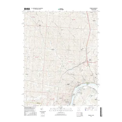
2016 Map of Pomeroy
USGS Topo · Published 2016About this map
Pomeroy and its distinct Pomeroy Bend serve as the centerpiece of this study of the Ohio River corridor. The riverfront is densely developed, connecting the settlements of Middleport, Bradbury, Lincoln Heights, and Pomeroy in a continuous chain along the northern bank, while Mason, Clifton, and Hartford City line the West Virginia side. A significant regional crossing is provided by the Pomeroy-Mason Toll Bridge, linking the economies of Meigs and Mason counties.
Find a feature on this map
199 named features on this map. Tap any name to fly to it.
Don’t see what you’re looking for? This feature index may not catch every label — zoom into the map to look around manually.
Map Details
Editions of this 2016 Pomeroy Map
This is the sole edition of this map. No revisions or reprints were ever made.
Other maps of this area

1907 · Pomeroy
USGS Topo · 1:62,500

1907 · Keno
USGS Topo · 1:62,500

1908 · Ravenswood
USGS Topo · 1:62,500

1908 · Point Pleasant
USGS Topo · 1:62,500

1926 · Ravenswood
USGS Topo · 1:62,500

1926 · Point Pleasant
USGS Topo · 1:62,500

1928 · Ravenswood
USGS Topo · 1:62,500

1929 · Point Pleasant
USGS Topo · 1:62,500

1947 · Columbus
USGS Topo · 1:250,000

1949 · Clarksburg
USGS Topo · 1:250,000