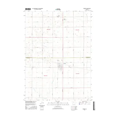
2015 Map of Pomeroy
USGS Topo · Published 2015About this map
Pomeroy sits at the junction of the Pocahontas and Calhoun county lines, serving as the primary hub for this agricultural landscape. The town is characterized by a detailed street grid including S Seneca St, S Main St, and E Center St, reflecting the organized growth of a rural community. The surrounding countryside is defined by an extensive drainage network, with systems like Joint Drainage Ditch 9-13 and Drainage Ditch 79 helping manage the hydrology of the plains. For genealogists and local historians, several burial grounds are preserved across the sections, including Saint Marys Cem and Union Cem near the town center, while more remote sites like Elfsborg Lutheran Cem Cem and Swedish Mission Bethany Cem to the north indicate the early religious congregations of the region's settlers.
Find a feature on this map
55 named features on this map. Tap any name to fly to it.
Don’t see what you’re looking for? This feature index may not catch every label — zoom into the map to look around manually.
Map Details
Editions of this 2015 Pomeroy Map
This is the sole edition of this map. No revisions or reprints were ever made.
Other maps of this area

1954 · Fort Dodge
USGS Topo · 1:250,000

1957 · Fort Dodge
USGS Topo · 1:250,000

1958 · Fort Dodge
USGS Topo · 1:250,000

1979 · Pocahontas
USGS Topo · 1:24,000

1979 · Fonda
USGS Topo · 1:24,000

1979 · Manson
USGS Topo · 1:24,000

1979 · Pomeroy
USGS Topo · 1:24,000

1979 · Palmer
USGS Topo · 1:24,000

1979 · Fonda NE
USGS Topo · 1:24,000

1980 · Lytton
USGS Topo · 1:24,000