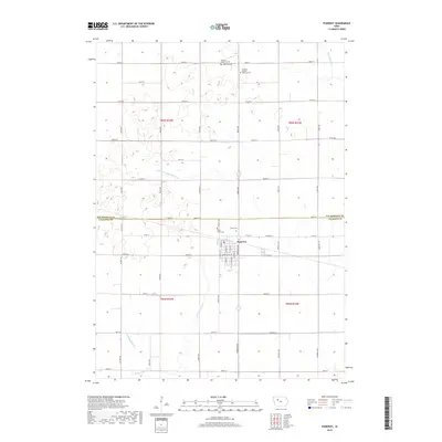
2018 Map of Pomeroy
USGS Topo · Published 2018About this map
Pomeroy anchors this part of north-central Iowa, situated along the border of Pocahontas and Calhoun Counties. The town center is defined by a grid of streets including S Seneca St and Marengo Ave, surrounded by a landscape heavily modified for agriculture. This transformation is most evident in the complex water management system, featuring engineered waterways like Joint Drainage Ditch 9-13 and Drainage Ditch 79 that supplement natural courses such as Lake Creek and the S Br Lizard Creek. The cultural history of the area is preserved in several rural burial grounds, including the Elfsborg Lutheran Cem and Swedish Mission Bethany Cem in the north, reflecting the heritage of early settlers who established these faith-based communities on the prairie.
Find a feature on this map
55 named features on this map. Tap any name to fly to it.
Don’t see what you’re looking for? This feature index may not catch every label — zoom into the map to look around manually.
Map Details
Editions of this 2018 Pomeroy Map
This is the sole edition of this map. No revisions or reprints were ever made.
Other maps of this area

1954 · Fort Dodge
USGS Topo · 1:250,000

1957 · Fort Dodge
USGS Topo · 1:250,000

1958 · Fort Dodge
USGS Topo · 1:250,000

1979 · Pocahontas
USGS Topo · 1:24,000

1979 · Fonda
USGS Topo · 1:24,000

1979 · Manson
USGS Topo · 1:24,000

1979 · Pomeroy
USGS Topo · 1:24,000

1979 · Palmer
USGS Topo · 1:24,000

1979 · Fonda NE
USGS Topo · 1:24,000

1980 · Lytton
USGS Topo · 1:24,000