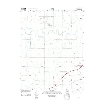
2012 Map of Pomona
USGS Topo · Published 2012About this map
The Marais des Cygnes River meanders across the center of this landscape, its complex oxbows and floodplains defining the geography between Pomona and Homewood. The town of Pomona serves as a local hub, anchored by its grid of streets and the Woodlawn Cem to the west. The rural infrastructure of Franklin County is well-documented, showing a network of section-line roads such as Arkansas Rd and Colorado Rd that connect outlying settlements like Richter and Ransomville.
Find a feature on this map
50 named features on this map. Tap any name to fly to it.
Don’t see what you’re looking for? This feature index may not catch every label — zoom into the map to look around manually.
Map Details
Editions of this 2012 Pomona Map
This is the sole edition of this map. No revisions or reprints were ever made.
Other maps of this area

1885 · Burlington
USGS Topo · 1:125,000

1885 · Garnett
USGS Topo · 1:125,000

1885 · Lawrence
USGS Topo · 1:125,000

1889 · Burlingame
USGS Topo · 1:125,000

1889 · Lawrence
USGS Topo · 1:125,000

1894 · Garnett
USGS Topo · 1:125,000

1894 · Burlingame
USGS Topo · 1:125,000

1894 · Burlington
USGS Topo · 1:125,000

1947 · Lawrence
USGS Topo · 1:250,000

1950 · Lawrence
USGS Topo · 1:250,000