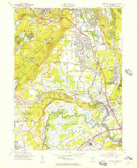
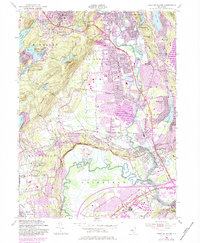
1955 Map of Pompton Plains
USGS Topo · Published 1956About this map
Pompton Plains and the neighboring boroughs of Pequannock and Riverdale sit at a vital northern New Jersey crossroads where the Pequannock River meets the Passaic River. This mid-1950s landscape is defined by the contrast between burgeoning suburban development and the sprawling wetlands of Great Piece Meadows and Bog and Vly Meadows. Major transit corridors like the Newark Pompton Turnpike and the Erie RR facilitate growth, while the western hills of Kinnelon remain more sparsely settled, punctuated by private developments around Fayson Lakes and Lake Valhalla.
Find a feature on this map
101 named features on this map. Tap any name to fly to it.
Don’t see what you’re looking for? This feature index may not catch every label — zoom into the map to look around manually.
Map Details
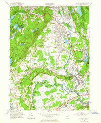
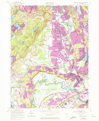
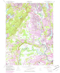
Editions of this 1955 Pompton Plains Map
6 editions found
Other maps of this area

1888 · Morristown
USGS Topo · 1:62,500

1888 · Paterson
USGS Topo · 1:62,500

1891 · Greenwood Lake
USGS Topo · 1:62,500

1891 · Ramapo
USGS Topo · 1:62,500

1892 · Paterson
USGS Topo · 1:62,500

1893 · Greenwood Lake
USGS Topo · 1:62,500

1893 · Ramapo
USGS Topo · 1:62,500

1894 · Morristown
USGS Topo · 1:62,500

1898 · Morristown
USGS Topo · 1:62,500

1898 · Paterson
USGS Topo · 1:62,500