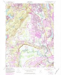
1955 Map of Pompton Plains
USGS Topo · Published 1984About this map
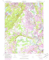
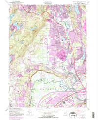
The Passaic River and Pequannock River define the hydraulic landscape of this North Jersey region, winding through the expansive Great Piece Meadows and Bog and Vly Meadows. In the mid-1950s, the area shows a distinct transition from the established borough of Butler and the village of Pompton Plains to the expanding residential tracts of Wayne and Lincoln Park. The transportation network is anchored by the NY S & W RR and the Newark Pompton Turnpike, supporting a mix of suburban growth and local industry. Aviation history is present at the Montville Airpark and the Lincoln Park Airport. Local life is centered around numerous water bodies like Pompton Lake and Packanack Lake, while civic landmarks such as St Joseph Sch and the Mount Calvary Cem provide significant points of interest for genealogists and local historians.
Find a feature on this map
87 named features on this map. Tap any name to fly to it.
Don’t see what you’re looking for? This feature index may not catch every label — zoom into the map to look around manually.
Map Details
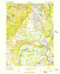
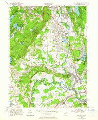
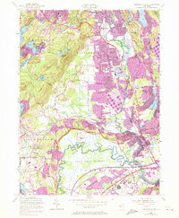
Editions of this 1955 Pompton Plains Map
6 editions found
Other maps of this area

1888 · Morristown
USGS Topo · 1:62,500

1888 · Paterson
USGS Topo · 1:62,500

1891 · Greenwood Lake
USGS Topo · 1:62,500

1891 · Ramapo
USGS Topo · 1:62,500

1892 · Paterson
USGS Topo · 1:62,500

1893 · Greenwood Lake
USGS Topo · 1:62,500

1893 · Ramapo
USGS Topo · 1:62,500

1894 · Morristown
USGS Topo · 1:62,500

1898 · Morristown
USGS Topo · 1:62,500

1898 · Paterson
USGS Topo · 1:62,500