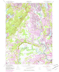
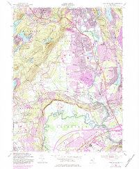
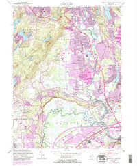
1955 Map of Pompton Plains
USGS Topo · Published 1982About this map
The confluence of the Passaic River and Pequannock River defines this landscape where Morris, Passaic, and Essex counties meet. Mid-century suburban expansion is evident across Pequannock and Lincoln Park, while the western terrain remains dominated by the peaks of Waughaw Mtn and Turkey Mtn. Significant water infrastructure, including the Butler Reservoir and Taylortown Reservoir, reflects the region's role in supporting a growing population.
Find a feature on this map
96 named features on this map. Tap any name to fly to it.
Don’t see what you’re looking for? This feature index may not catch every label — zoom into the map to look around manually.
Map Details
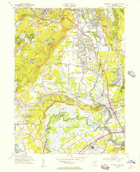
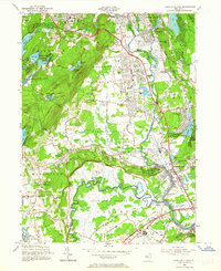
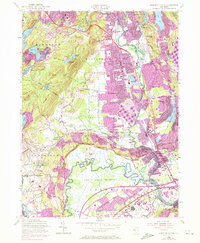
Editions of this 1955 Pompton Plains Map
6 editions found
Other maps of this area

1888 · Morristown
USGS Topo · 1:62,500

1888 · Paterson
USGS Topo · 1:62,500

1891 · Greenwood Lake
USGS Topo · 1:62,500

1891 · Ramapo
USGS Topo · 1:62,500

1892 · Paterson
USGS Topo · 1:62,500

1893 · Greenwood Lake
USGS Topo · 1:62,500

1893 · Ramapo
USGS Topo · 1:62,500

1894 · Morristown
USGS Topo · 1:62,500

1898 · Morristown
USGS Topo · 1:62,500

1898 · Paterson
USGS Topo · 1:62,500