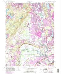
1955 Map of Pompton Plains
USGS Topo · Published 1984About this map
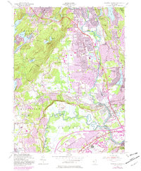
Pequannock and Pompton Plains serve as the central residential hubs of this mid-century New Jersey landscape, which is defined by its complex hydrology and aviation history. The corridor is shaped by the confluence of the Pequannock River, Pompton River, and Passaic River, creating expansive wetland areas like Great Piece Meadows and Bog and Vly Meadows. Transportation infrastructure is a dominant feature, showing the Conrail line and the Newark Pompton Turnpike connecting historical settlements. Aviation enthusiasts and local historians will find significant detail in the presence of the Lincoln Park Airport, Montville Airpark, and the Essex County Airport. Cultural landmarks from the era, such as a Drive-in Theater in Fairfield and parochial institutions like St Joseph Sch, illustrate the suburban expansion of the 1950s that was later updated through the early 1980s.
Find a feature on this map
81 named features on this map. Tap any name to fly to it.
Don’t see what you’re looking for? This feature index may not catch every label — zoom into the map to look around manually.
Map Details
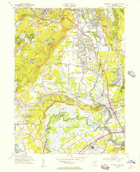
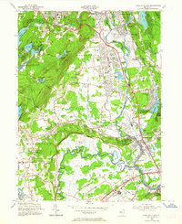
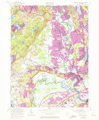
Editions of this 1955 Pompton Plains Map
6 editions found
Other maps of this area

1888 · Morristown
USGS Topo · 1:62,500

1888 · Paterson
USGS Topo · 1:62,500

1891 · Greenwood Lake
USGS Topo · 1:62,500

1891 · Ramapo
USGS Topo · 1:62,500

1892 · Paterson
USGS Topo · 1:62,500

1893 · Greenwood Lake
USGS Topo · 1:62,500

1893 · Ramapo
USGS Topo · 1:62,500

1894 · Morristown
USGS Topo · 1:62,500

1898 · Morristown
USGS Topo · 1:62,500

1898 · Paterson
USGS Topo · 1:62,500