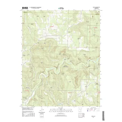
2017 Map of Ponca
USGS Topo · Published 2017About this map
The Buffalo National River carves a winding path through this Newton County landscape, flanked by dramatic vertical features such as Roark Bluff, Bee Bluff, and Big Bluff. The river's corridor is a focal point for the surrounding geography, creating distinct landforms like Horseshoe Bend and numerous steep drainage basins including Hemmed-In Hollow and Jackies Big Hollow. High points such as Kilgore Mtn and George Ridge overlook the deep valleys of Steele Creek and Beech Creek.
Find a feature on this map
107 named features on this map. Tap any name to fly to it.
Don’t see what you’re looking for? This feature index may not catch every label — zoom into the map to look around manually.
Map Details
Editions of this 2017 Ponca Map
This is the sole edition of this map. No revisions or reprints were ever made.
Other maps of this area

1904 · Harrison
USGS Topo · 1:125,000

1905 · Harrison
USGS Topo · 1:125,000

1933 · Mt Judea
USGS Topo · 1:62,500

1940 · Mt Judea
USGS Topo · 1:62,500

1945 · Harrison
USGS Topo · 1:250,000

1949 · Harrison
USGS Topo · 1:250,000

1954 · Harrison
USGS Topo · 1:250,000

1956 · Russellville
USGS Topo · 1:250,000

1958 · Harrison
USGS Topo · 1:250,000

1964 · Russellville
USGS Topo · 1:250,000